We make maps for all purposes!
Making maps is our passion. We create thematic and topographic maps for all purposes and at any map scale, no matter if world, regional, national or local.
Based on many years of experience in cartography, GIS, data modelling, data collection, data harmonization, spatial data infrastructures and open data, we use as basic for our maps mostly existing sources, like geoportals, open data portals, OpenStreetMap, Copernicus, or any other. If data is missing we also go out in the field or digitize data from high resolution aerial photos.
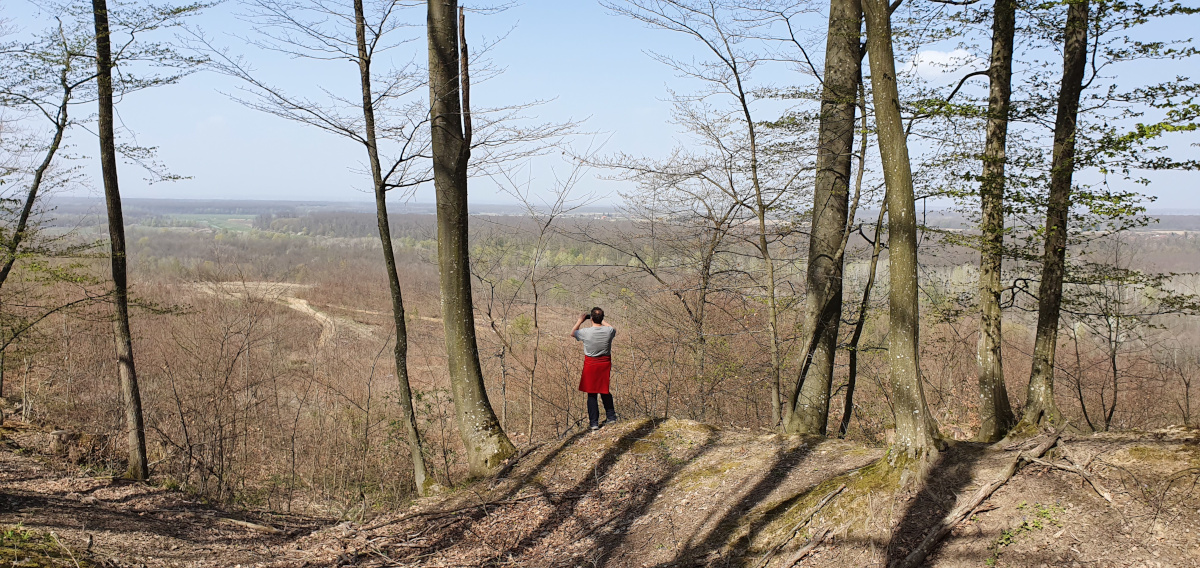
This is our current project: We make a maps of the Marča Forest area (central Croatia) for the local community that will serve many purposes, be it touristic, economic or for planning. Fostering sustainability in the area and increasing local tourism is the main vision behind this.
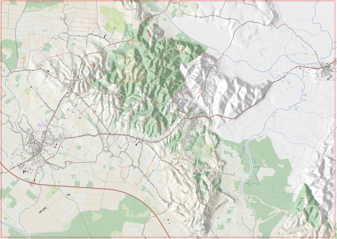
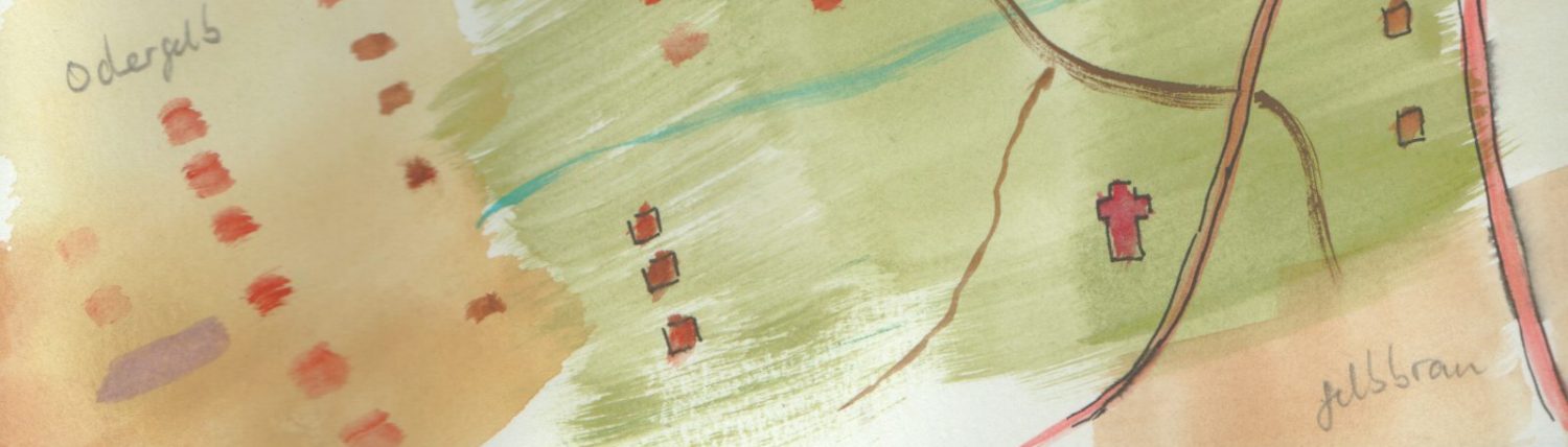
How we do it? We use data from OpenStreetmap, State Geodetic Administration of Croatia, Minister of Environment and Energy Croatia and Copernicus. And, most important, by field research. And while on field, we make a lot of documenting with pictures.
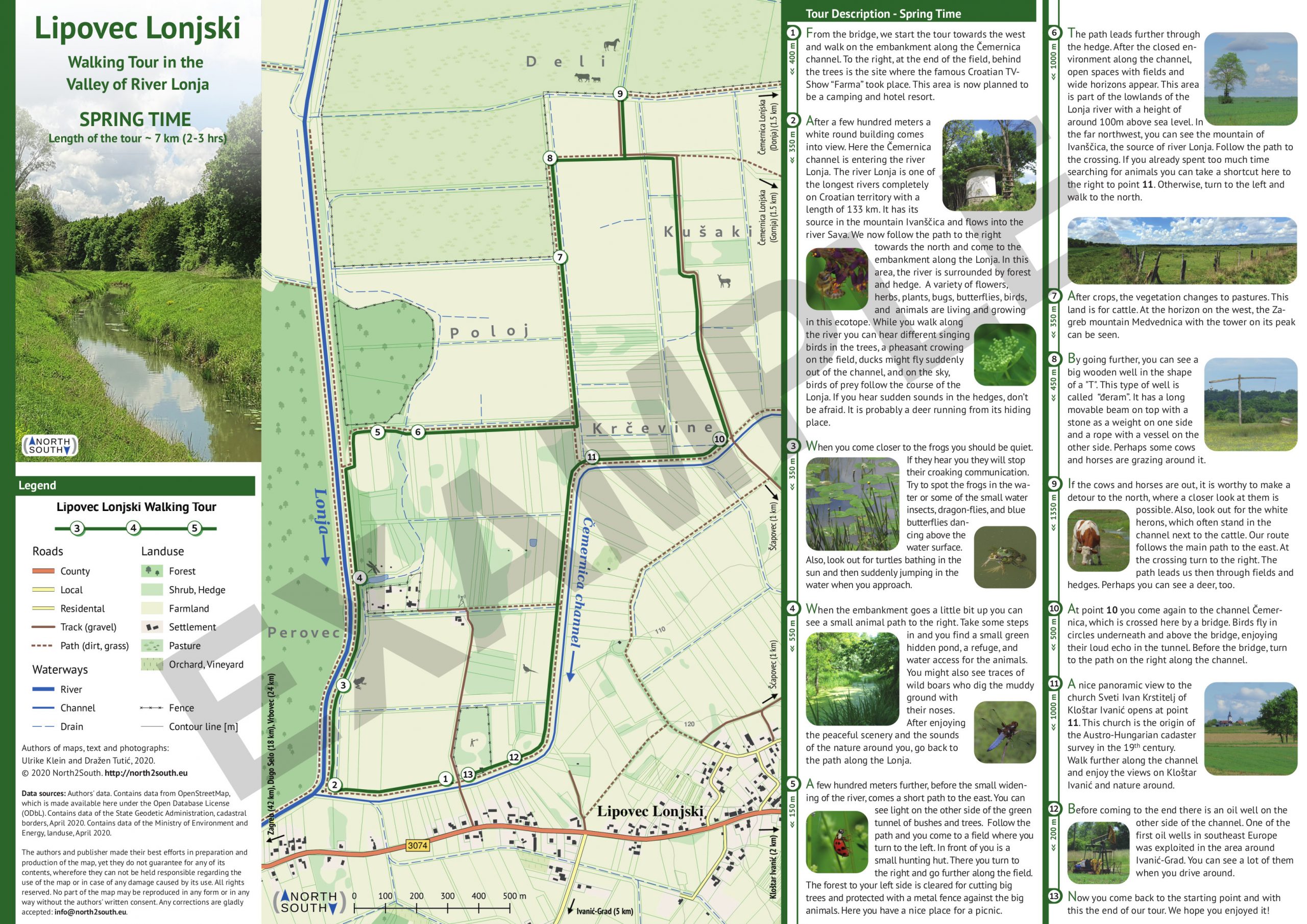
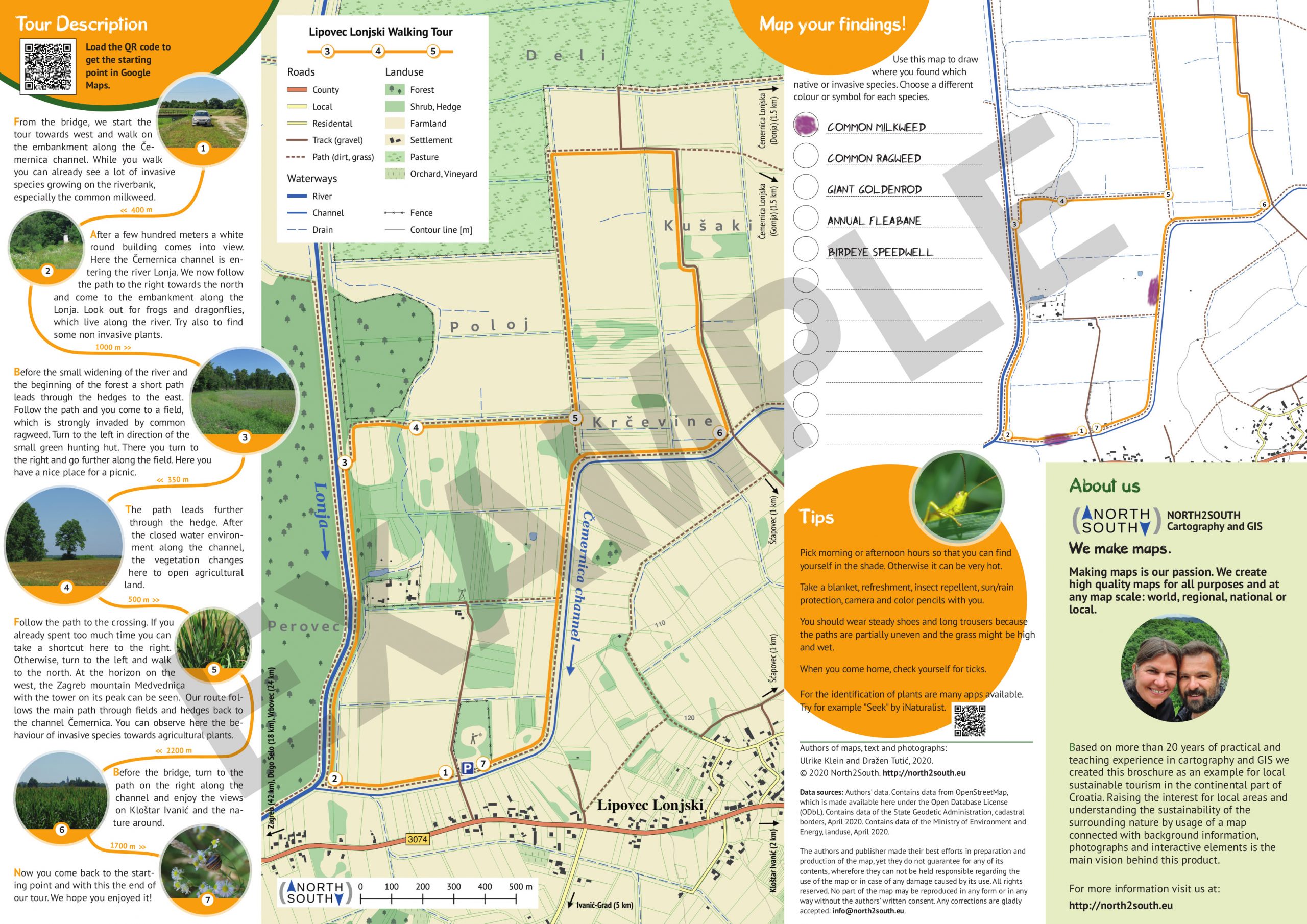
For other examples of our maps check the Gallery.